When we first moved to our condo in the shadow of Telegraph Hill, I was of course aware of Coit Tower at the top of it. One of the things we did pretty early on was to walk up there via the famous Filbert Steps. The hill is pretty steep on the east side! I don’t know how many steps, but it’s a few hundred, I’m sure. And the hill is way too steep for any kind of street.
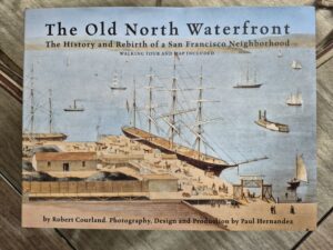
I wasn’t until a couple of months ago that we got a coffee table book detailing the history of our neighborhood, usually called the North Waterfront.
I knew that much of the San Francisco waterfront is land fill since the Gold Rush but I really hadn’t thought much about where the land fill came from. In the book is a drawing showing what was then called ‘Signal Hill’ coming right down to the beach along San Francisco Bay.

Reading further into the book, I discovered that Signal Hill was considered a prime source for landfill. In fact, for 20 years or so there was an actual quarry right along the east side of the hill.
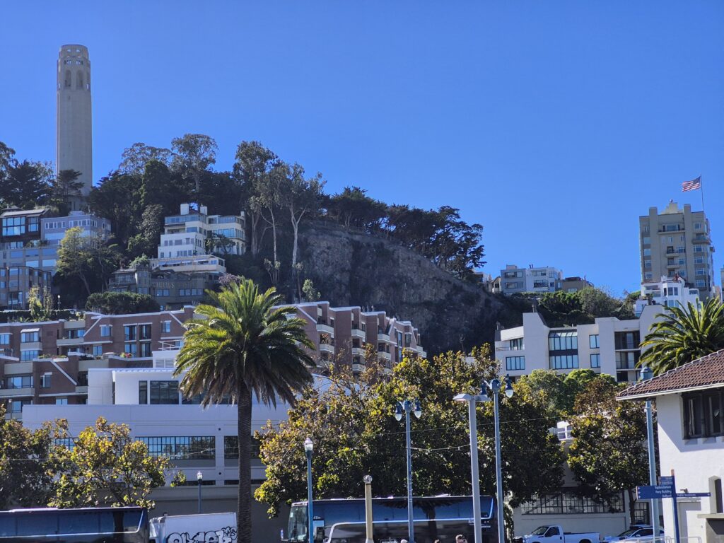
Nowadays, you can see the outline of the original hill if you look at it from out on the Embarcadero. Our condo is in the white building on the right mid distance. The Filbert steps are just out of the picture on the left.
Walking up Chestnut Street, you can find a spot right next to the cliff that is the east side of Telegraph Hill now. Here are some views of that spot.

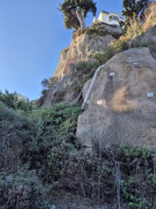
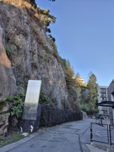
These views are looking south, southwest and west. Pretty steep cliff!
When we were looking for condos in the neighborhood, we looked at an apartment in the building just at the edge of the picture on the left. Looking out the living room window, there was a perfect close up view of that cliff. No thanks!
Where we live now doesn’t have a great view like we had in Brisbane. We are only on the second floor so we hear a lot of street noise but the windows are south facing and the sun comes in filtered by the trees most of the year. We like it a lot!